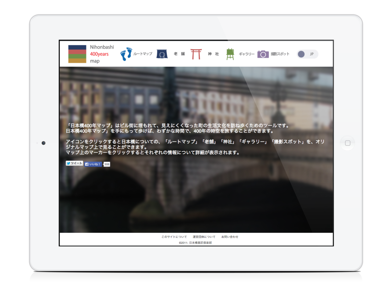
Nihonbashi 400years map” is a tool for experiencing the livelihood culture of the town which has become hidden by the high rising buildings. With “Nihonbashi 400 years map”, you will be able to travel through 400 years in a short time. “Nihonbashi 400 years map”, offers the following experiences;
1. You can view the information of the well-established stores in Nihonbashi by clicking the marker on the original map.
2. “Well-established stores”, “Shrine”, “Gallery” and “Photo Spot” can be seen on the map.
3. There are 5 maps on different layers separated by time, and you can travel the different times in Nihonbashi by changing layers.
Mobile Map Application, 2014 –
Satoru Tokuhisa: Design
Sosuke Okubo: Application Programming
Collaborator
Tokyo University of Science Uno Lab.
Project URL
nihonbashi400.org *Sorry, only Japanese.

Post your comment